Share This Article
Do you ever find yourself curious about the world beyond the horizon? To satiate that interest, the Ordnance Survey offers Immersive 3D Relief Maps. Incredibly accurate and aesthetically pleasing, these extraordinary maps are a work of art. They make the landscapes of Britain—its hills, valleys, rivers, and coastlines—come to life, letting players investigate every inch with pinpoint accuracy. If you’re like hiking, cycling, or just enjoying nature, these maps are a must-have for distant exploration of the stunning British countryside. Because of this, why limit yourself to a simple, two-dimensional map when you may explore a fully immersive, three-dimensional environment? Exciting things lie beyond the horizon.
3D Peak District Relief Map
The Peak District is a beautiful area with rolling hills, winding rivers, and stunning peaks. And now, thanks to the 3D Peak District Relief Map from Dorrigo, mapping out your next adventure or remembering your favourite routes is easier than ever. This detailed map is a true representation of the region’s geography, accurately depicting its every hill, valley, peak, and river. Measuring approximately H 76 x W 67 cm, the map is perfect for those passionate about the Peak District. And, if you’re unsure about the measurements, Ordnance Survey recommends receiving your product first to check before ordering a frame. With the 3D Peak District Relief Map, exploring this amazing region is just a glance away.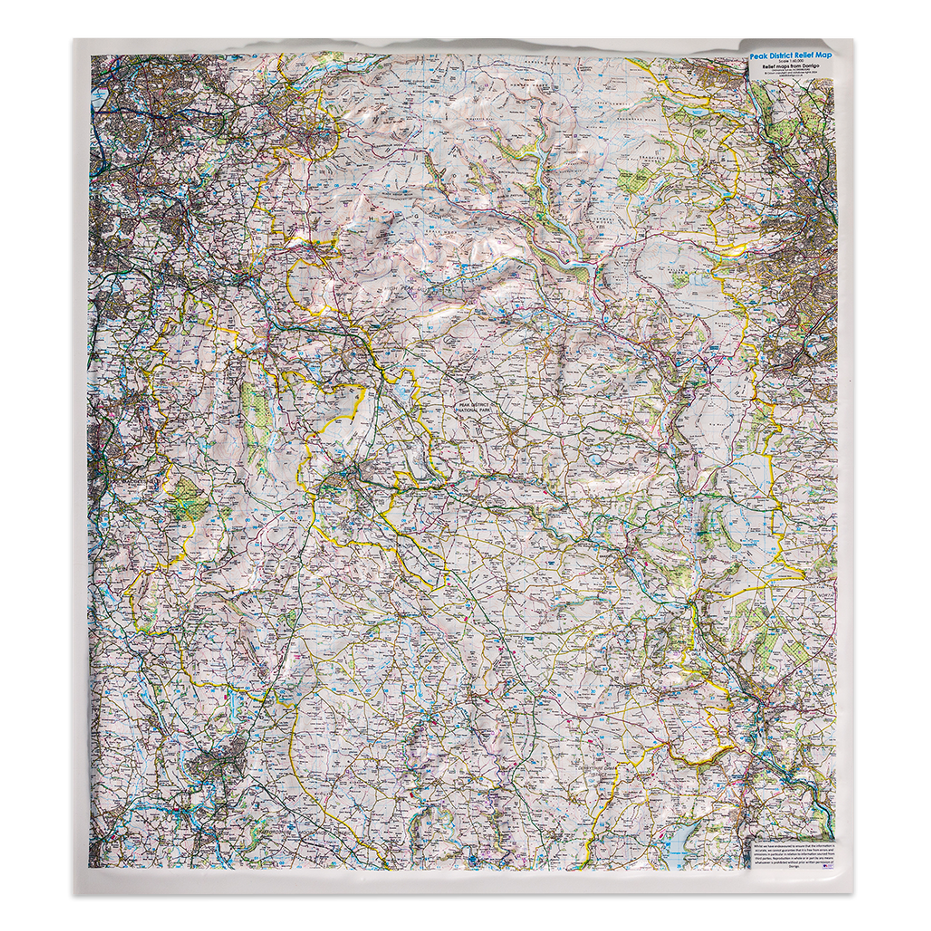
3D Yorkshire Dales relief map
The beauty of the Yorkshire Dales is hard to put into words, but thankfully the 3D relief map captures it perfectly. This map provides a stunning display piece that allows you to explore the incredible topography of the region in great detail. Perfect for fans of geography, history, and nature, this map is printed on a custom moulded 3D plastic base that brings the area to life. It’s easy to see why these maps are so popular for educational purposes, as they give students and teachers alike a chance to get up close and personal with the natural world. At a scale of 1:63,000, this map is detailed enough to show even the most intricate landscape features, while still being easy to read and understand. Measuring approximately 76 cm high, 68 cm wide, and 2.9 cm deep, this map is sure to be a treasured addition to any collection.

3D Map of Dartmoor National Park
Exploring the sprawling Dartmoor National Park has never been easier with this stunning 3D map. Featuring a larger size and based on Ordnance Survey Landranger mapping, the map showcases every inch of Dartmoor, including Oakhampton, Bovey Tracey, and part of Plymouth. With its detailed representation of roads, points of interest, and other features, this 3D map is a must-have for hikers, bikers, and adventurers of all kinds. With a scale of 1:60,000 and measuring approximately H 76 x W 68 x D 1.8 cm, this map is a comprehensive guide to the magnificent natural beauty of Dartmoor National Park.
3D A4 Helvellyn relief map
If you’re looking for a map that truly captures the landscape, the 3D A4 Helvellyn relief map is the perfect choice. This unique map is printed with Ordnance Survey mapping at 1:50,000 scale, meaning it offers an incredibly detailed look at the terrain. What really sets this map apart, though, is the way it captures the landscape in 3D relief. Whether you’re planning a hiking trip or you simply appreciate the natural beauty of the area, this map can bring Helvellyn to life. Even the presentation box it comes in is impressive, measuring nearly a foot wide and over a foot tall. If you’re a map enthusiast or simply want to experience the beauty of Helvellyn in a new way, this map is definitely worth checking out.
3D map of France
Explore the beauty of France like never before with this breath-taking 3D map. Manufactured by Dorrigo, it gives you a comprehensive overview of the entire country, including the iconic Alps and Pyrenees mountain ranges. The mapping is simplified yet highlights all the key physical features, providing spot heights of peaks and other geographical details. From the main roads and rivers to towns, cities, and regions, everything appears clearly on the map. Moreover, you can even catch glimpses of the surrounding countries like Spain, Belgium, and Germany. Perfect for sports enthusiasts, this 3D map of France is sure to capture your attention and inspire you to plan your next awe-inspiring trip.
Why Do We Buy 3D Relief Maps From Ordnance Survey?
Have you ever purchased a 3D relief map from Ordnance Survey? If not, you might be curious as to why so many people choose to buy them. Well, for starters, these maps provide a highly detailed and tactile representation of the landscape. They’re not just useful for getting from point A to point B, but also as beautiful decorative pieces that can add personality to any room. Additionally, many people purchase these maps as gifts for outdoor enthusiasts or those with a love of geography. Whatever your reason for buying one, it’s clear that 3D relief maps offer a unique appreciation for the world around us.